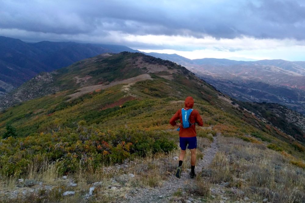
Why? Because it’s near my house. Probably no other good reason. I’m sure it has been done many times in the past – but for some reason I’d always wanted to link up the full watershed ridgeline/boundary of Emigration Canyon. Through the years I’d run nearly every portion of the ridgeline… but never linked it together. Every portion but one – which proved to be a doozy.
To be clear – this was far from a purist effort. My goal was to follow the ridgeline as much as possible. But given the amount of scrub oak on this route, I planned to use some opportunistic trails as needed.
A torrent of rain was in the forecast but Jed was generous to suggest we go for it. The plan was to ascend Mt. Wire via the usual southern route, follow the ridge east from there to Lookout Peak. Then descend Lookout Peak via trail to Little Mountain. After crossing the road, we’d follow the trail to Dale Peak, Perkins Peak and then….?
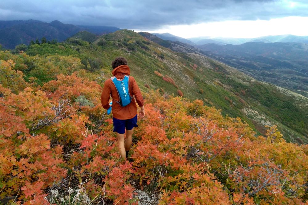
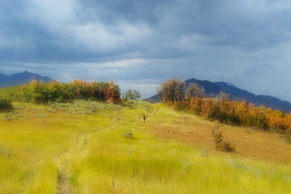
I felt it was prudent to stash a car at the Killyons Canyon trailhead since it was a convenient exit point given the threat of deluge – but it was never used. Once on-route, Mount Wire and the Wire Ridgeline went quickly with the fresh fall orange scrub oak leaves in full bloom and the wind raging to our right. We were able to jog many sections and were ripped apart by others. I knew there was a newish trail leading down into the head of Freeze Canyon but we never found it and instead found a wet, thorny thicket. Crossing Freeze, we followed the decent but intermittent, wandering trail to the top of Miners Canyon and continued on towards Lookout Peak.
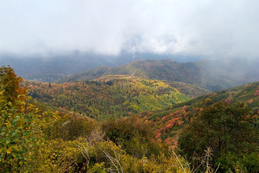
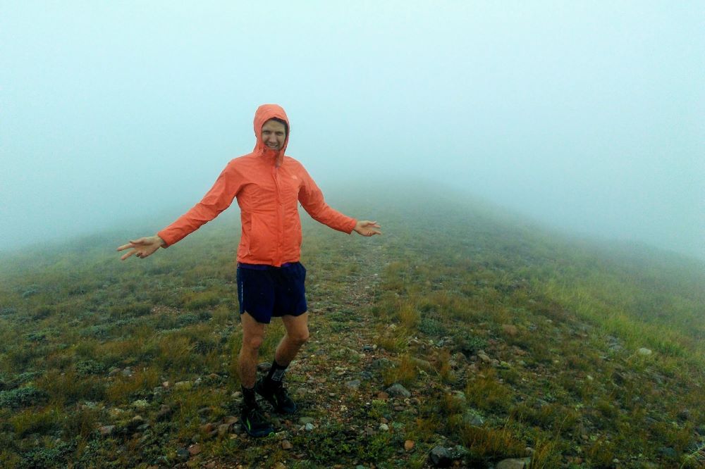
Lookout has always been a favorite. Perhaps because of the amazing album Lookout Mountain, Lookout Sea by the Silver Jews. RIP Dave Berman – I thought of you often as we crossed and ascended the peak of the Silver Jews. Leaving the ‘bunker’ the weather deteriorated significantly. Hail, snow, insistent wind and a clouded fog kept Jed and I in close vicinity to not get lost. Terrain I remember so vividly from past trips was more confusing and tricky given the poor conditions. We didn’t linger atop Lookout and instead pounded the trail east and south to the head of Killyons.
At Killyons we quickly discussed the viability of continuing and finishing the route. The weather had improved with a drop in altitude and I was anxious to continue. And Jed was generous to continue on with me despite having to perpetually wait for my slow legs. From Killyons to Little Mountain we followed the standard trail – offset from the ridge. Sure, I’m guessing the ridgeline could be followed here… but I presume at a high cost to flesh?
Passing Little Mountain I serially bonked on the steep climb to Dale Benchmark. I was dehydrated and low on blood sugar. Jed lent me some precious water atop Dale and we continue onward – now west, on the home stretch. The only section of the entire route I didn’t know was from Perkins Peak to the City. We had planned to cross the northern peak of Perkins and descend a subridge towards the Zoo. But the intermindable scrub oak pushed up south and west and soon we found ourselves descending the steep ridge that leads down to Parley’s Creek and Suicide Rock.
Progress amid the scrub oak, rough terrain, and the pressing wind convinced me to drop north, directly off the side of the ridge, into Spring Canyon below Jack’s Peak. It was probably a rash decision and the bushwacking was impenetrable. But after a half hour of vertical bushwacking we found ourselves on an old quarry road that brought us down to the city and a short road-run back to Jed’s car. Jed suggested that was the worst bushwack he had ever experienced. It was definitely bad.
It is far from a five-star route. But then again, I’ve never been one to look for stars. I appreciate the neglected trail and the lower mountains. And yes, it was close to my house. Would I suggest anyone else do it? Probably not? Unless, perhaps if you are in need of a bushwacking penance?
